
Frenchtown Township ZIP Coverage
Two verified postal routes serve Frenchtown Township. They are delivery labels, not township boundaries. Most southern and central township addresses use Monroe, Michigan 48162. Northern and northeastern pockets, including the Stony Point and Newport-facing area, use Newport 48166. An individual parcel must still be checked through USPS because the available official sources did not expose a complete township-wide boundary polygon or an address list for every parcel.
| ZIP | Areas served | Post office | Research note |
|---|---|---|---|
| 48162 | Most southern and central Frenchtown addresses, including Blue Bush, Frenchtown Dixie, and many lake and beach communities | Monroe | A Monroe postal city does not establish City of Monroe jurisdiction. Verify each full address. |
| 48166 | Northern and northeastern Frenchtown pockets, including Stony Point and the Newport-facing area | Newport | The Newport route crosses municipal boundaries and also serves portions of nearby townships. |
The Township Hall at 2744 Vivian Road uses Monroe, MI 48162, and the 2024 Resort District association list shows several lake-community addresses with that same postal label. Those facts describe delivery routing, not a claim that every 48162 address is in Frenchtown Township. The township covers about 43.2 square miles and meets Lake Erie, the City of Monroe, Berlin Township, and other Monroe County jurisdictions, so postal shorthand can hide a real records difference.
Note: Preserve the postal city exactly as returned for the address, then preserve the township or municipal situs shown by the parcel record.
Two Frenchtown Township Postal Routes
USPS assigns delivery routes, while townships and cities administer government records. A “Monroe, MI 48162” address can lie in Frenchtown Township, the City of Monroe, or another nearby township. In the other direction, a Frenchtown parcel can use a Newport 48166 mailing address. Use the parcel’s situs jurisdiction for assessment, deed, permit, and township-office research. Use the postal route for mail verification. Neither label replaces the other.
Historical work adds another layer. An older directory can print Monroe even when the modern parcel is identified as Frenchtown Township, and a later Newport route can make an unchanged address look like a move. Early French surnames, initials, married names, private-claim descriptions, and changing postal labels can all disrupt an exact match. Search the road and number, then compare the legal description and parcel rather than assuming the postal city tells the whole story.
Frenchtown’s beach and resort subdivisions make this distinction practical. Stony Point, Woodland Beach, Detroit Beach, Brest Bay Grove, Erie Shores, Indian Trails, Grand Beach, and Pointe Aux Peaux can be useful place clues, but a subdivision name is not a government boundary. Confirm it with USPS for delivery and GIS or the assessor for the parcel.
Verify Frenchtown Township ZIP Codes
The USPS ZIP Code Lookup is the final address-level check. Enter the complete street address, city, and state, then retain the returned postal city and five-digit route. It is more reliable for an individual address than a broad map assumption. It also guards against carrying an obsolete mailing label from an old directory into a current record search.
The USPS address-to-ZIP lookup is the postal-verification step before a Frenchtown Township record search is narrowed.
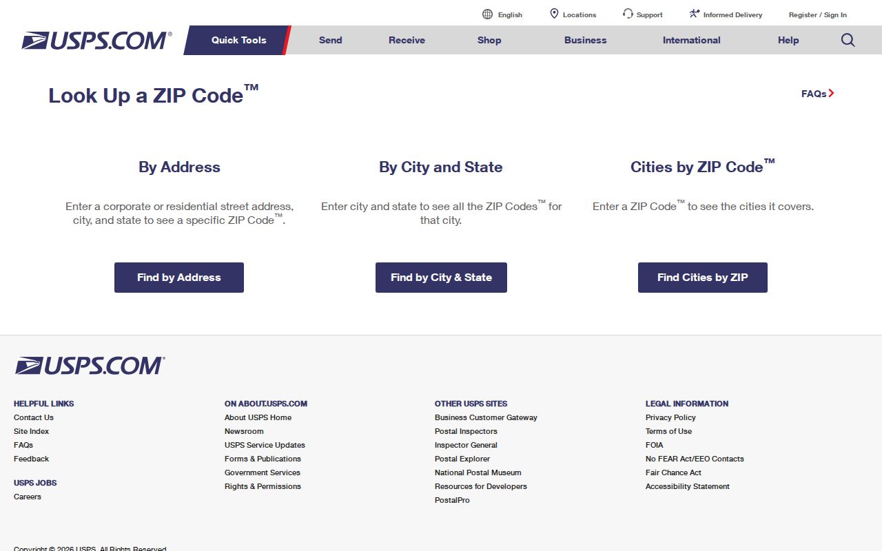
USPS cautions that its boundaries need not align with municipal boundaries. After the return value is saved, use the assessor and GIS systems to determine the parcel’s legal and local-government context.
Frenchtown Township ZIP Search Fields
Not every official portal has a simple ZIP-only search. BS&A advertises address, name, and parcel-number entry, but its public landing page did not reveal a ZIP filter, result limit, export control, or detailed-module fields. Do not represent an unavailable field as a public feature. The Michigan public registry has postal-area modes, while the Qualified Voter File form uses election geography rather than a ZIP-only request.
| Official source | Published search field or scope | What it can answer | Limit |
|---|---|---|---|
| Frenchtown BS&A | Address, name, parcel number; assessing, tax, sale, building modes | Parcel and tax-roll route for a known address | No ZIP filter was exposed on the inspected public landing page. |
| Michigan PSOR | Street address with city, county, or ZIP; city, county, or ZIP; address-radius options | Published registry entries matching the selected postal area | It is not a general resident list and has statutory exclusions. |
| Michigan QVF request | Jurisdiction, precinct, county, district, school, village, or other defined election geography | Eligible public voter-file fields with geography codes | The form does not offer a simple ZIP-only public scope. |
| County GIS | Address or parcel map navigation | Parcel and municipal context for a postal result | ZIP is postal data, not necessarily a parcel-map layer. |
The Frenchtown BS&A landing page remains the practical address-to-parcel route even where no postal-area filter is visible.
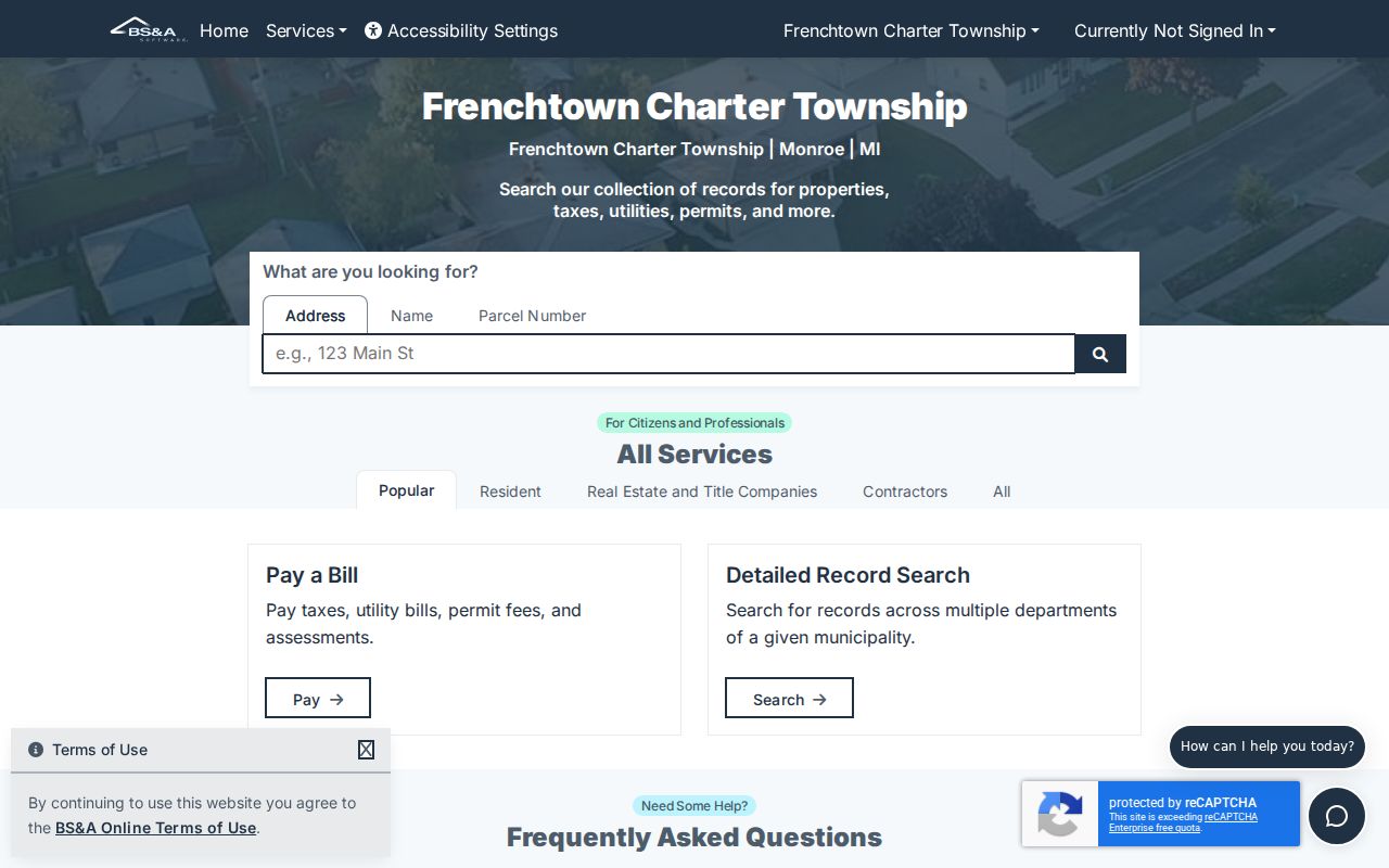
The available BS&A fields let a researcher move from a verified address to a parcel, owner tax-roll record, and property-history route without claiming that the portal returns a full ZIP list.
Find Within a Frenchtown Township ZIP
A postal route is a filter after geography is understood, not a count of township residents. Use a full address first, then compare the assessment record, parcel map, and the right public source for the precise question. A voter-file request should name the required jurisdiction or precinct. A registry result has its own restricted scope. Both should remain separate from owner and parcel data.
- Enter the complete address in the USPS lookup and save the returned postal city and route.
- Search the same address in BS&A and record the parcel, situs jurisdiction, tax-roll owner, and mailing address as separate fields.
- Select the parcel in the county GIS viewer and compare its municipal boundary, road, adjacent parcels, and available district context.
- For a lawful public-record question, choose the appropriate QVF geography or the PSOR postal-area option, then label the result type and access date.
- For an older address, test both Monroe 48162 and Newport 48166 formats, then compare directory street sections and legal descriptions.
Once a postal route has narrowed the area to a road, use the Frenchtown Township street directory for the parcel-by-parcel method. A route-wide result should not be treated as evidence about every household along that street.
Frenchtown Township Parcel Geography
The Monroe County Interactive Parcel Map connects a verified postal address to a parcel and surrounding geographic context. Select the parcel, record its identifier and legal description, and compare it with municipal boundaries, roads, aerial context, flood or drainage layers, school or election districts, and nearby parcels where those layers are available. The map is a navigation and spatial-information tool, not a legal survey.
The Monroe GIS parcel viewer shows the map step that keeps a Frenchtown Township ZIP code directory tied to the correct parcel.
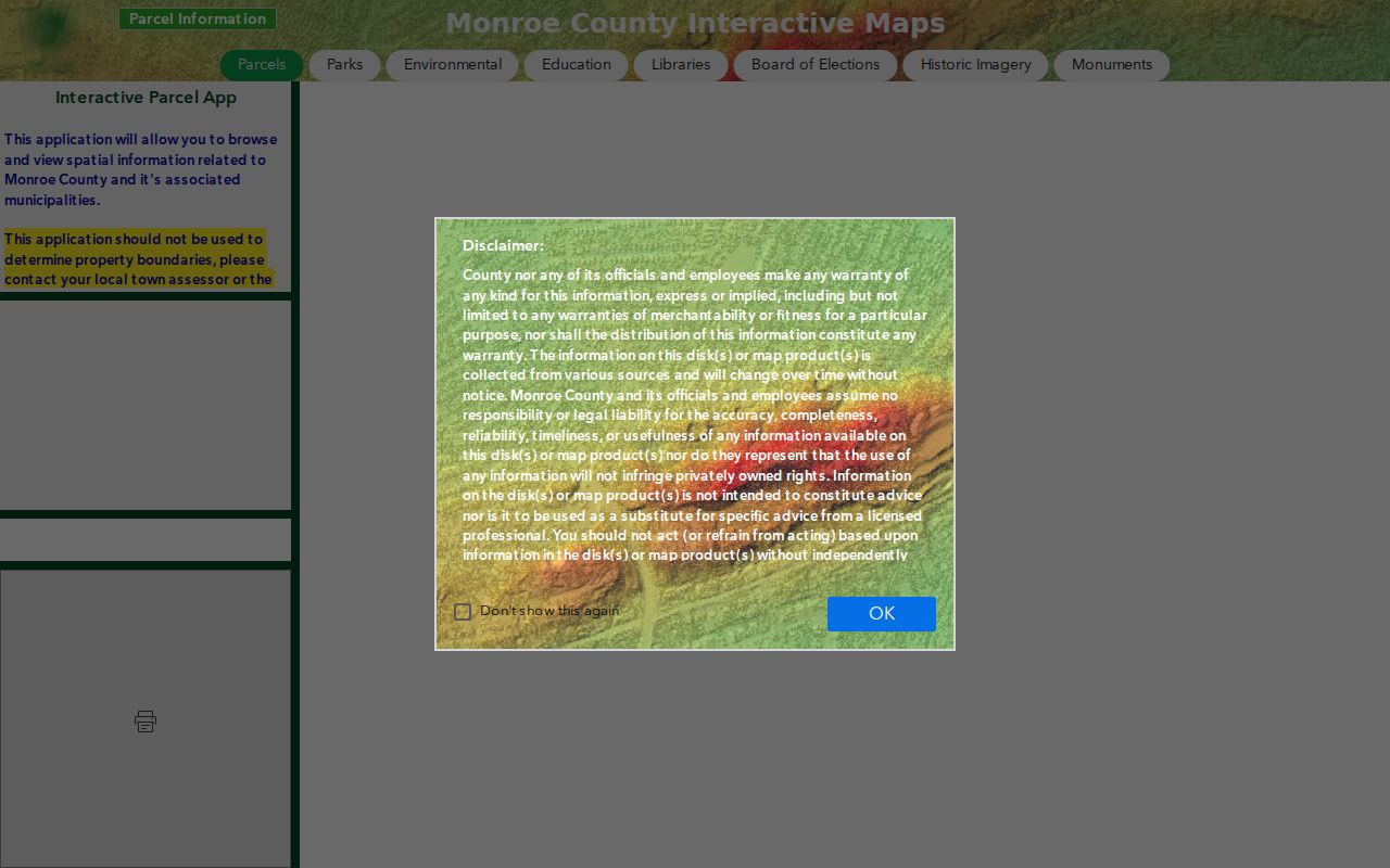
County GIS says assessment information is maintained by town assessors and updated biannually. Direct a boundary question to the local assessor or County Clerk, and direct property-data questions to the local assessor or Real Property Division.
- ZIP and ZIP+4
- A five-digit delivery route identifies the postal area. ZIP+4 adds a narrower delivery segment for a specific address or group of addresses.
- PO-box ZIP
- A route used for post-office boxes. It does not identify where a parcel physically sits.
- Unique ZIP
- A route assigned to one organization or large receiver. No Frenchtown-specific unique route was documented in the research.
- Carrier route
- A postal delivery sequence within a route. It is not a township or parcel boundary.
Frenchtown Township Beach ZIP Clues
Postal geography can be easier to understand when paired with local place names. The Frenchtown Resort District association inventory names Baycrest Beach, Brest Bay Grove, Detroit Beach, Dewey’s Stony Pointe, Erie Shores, Frenchtown Harbor, Grand Beach, Indian Trails, Woodland Beach, Pointe Aux Peaux Farms, Stony Pointe Beach, Stony Pointe Peninsula, and Long’s Association. Those are useful subdivision clues when an address search returns a broad Monroe mailing city.
The Resort District association list publishes organization contacts, not member rosters. It also notes that State Park Subdivision has contacts but no association. Treat the list as community geography, then verify a property’s postal route with USPS and its situs jurisdiction with the parcel record.
Frenchtown Township ZIP Limits
A postal result answers where mail is delivered. BS&A answers which tax account and parcel match an address. GIS supplies parcel and jurisdiction context. A QVF product can provide redacted registration information for an authorized geography, while PSOR can show only published registry entries that match its postal-area search. These outputs should never be combined into one claim about who lives in a route.
Some information is protected or does not exist as a public directory. Utility customer lists, DMV addresses, full household rosters, and Address Confidentiality Program records are not general postal-area results. Voter files omit protected fields and ACP applications under MCL 168.509gg. When a route conflicts with a parcel or historical directory, save the date, record the source type, and ask the correct custodian for a narrow record rather than guessing.
For a county record that is not available online, use the Monroe County FOIA request form. For local address-assignment questions, the township’s address application shows that Building/Inspection handles the local form and routes notice to USPS address-management offices.